 Routes and trips
 Map
Map MPR - cyclist-friendly places
 POI
POI Plan your trip
 Bike counters
 Publications
 News
News Route concept
 Contact
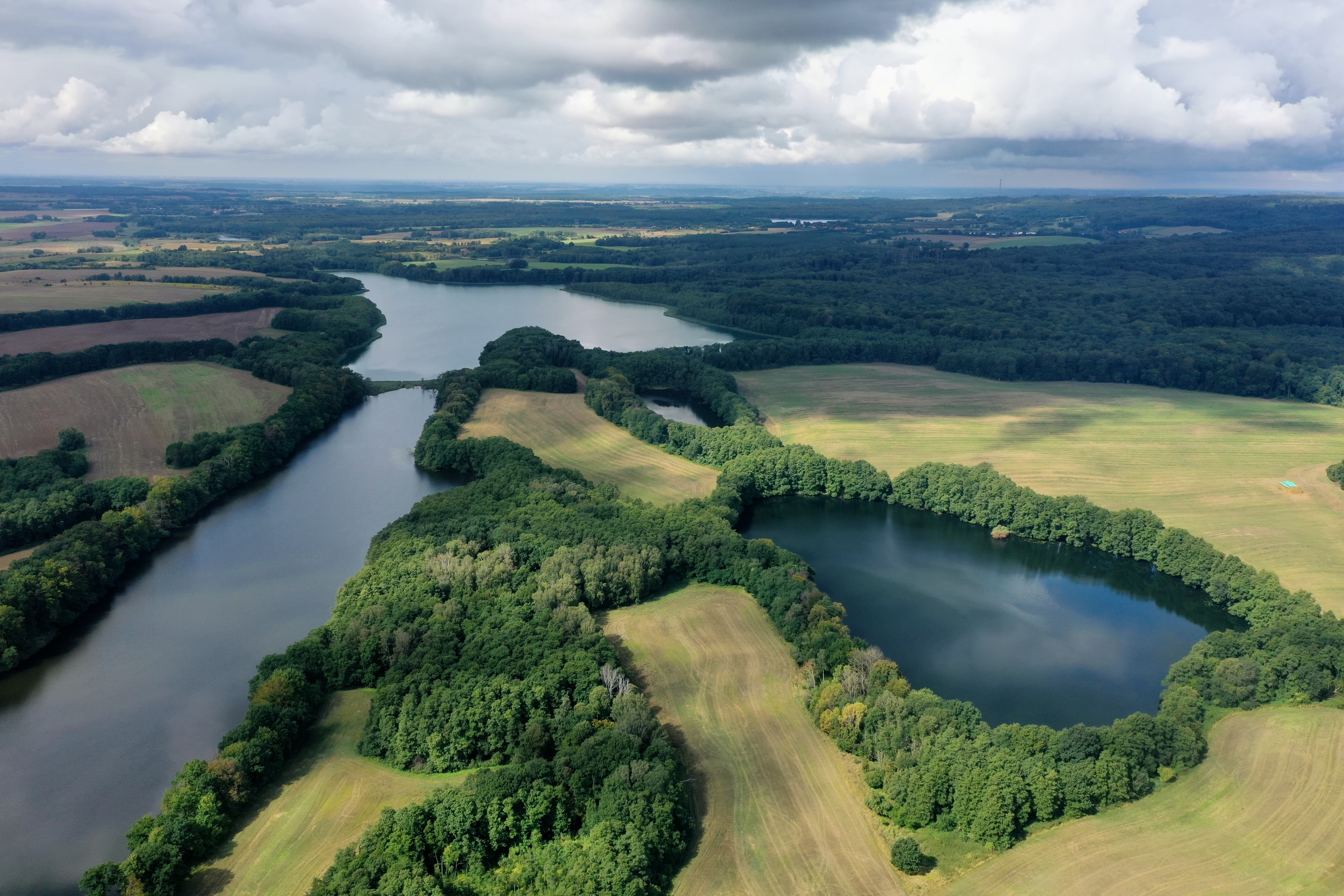
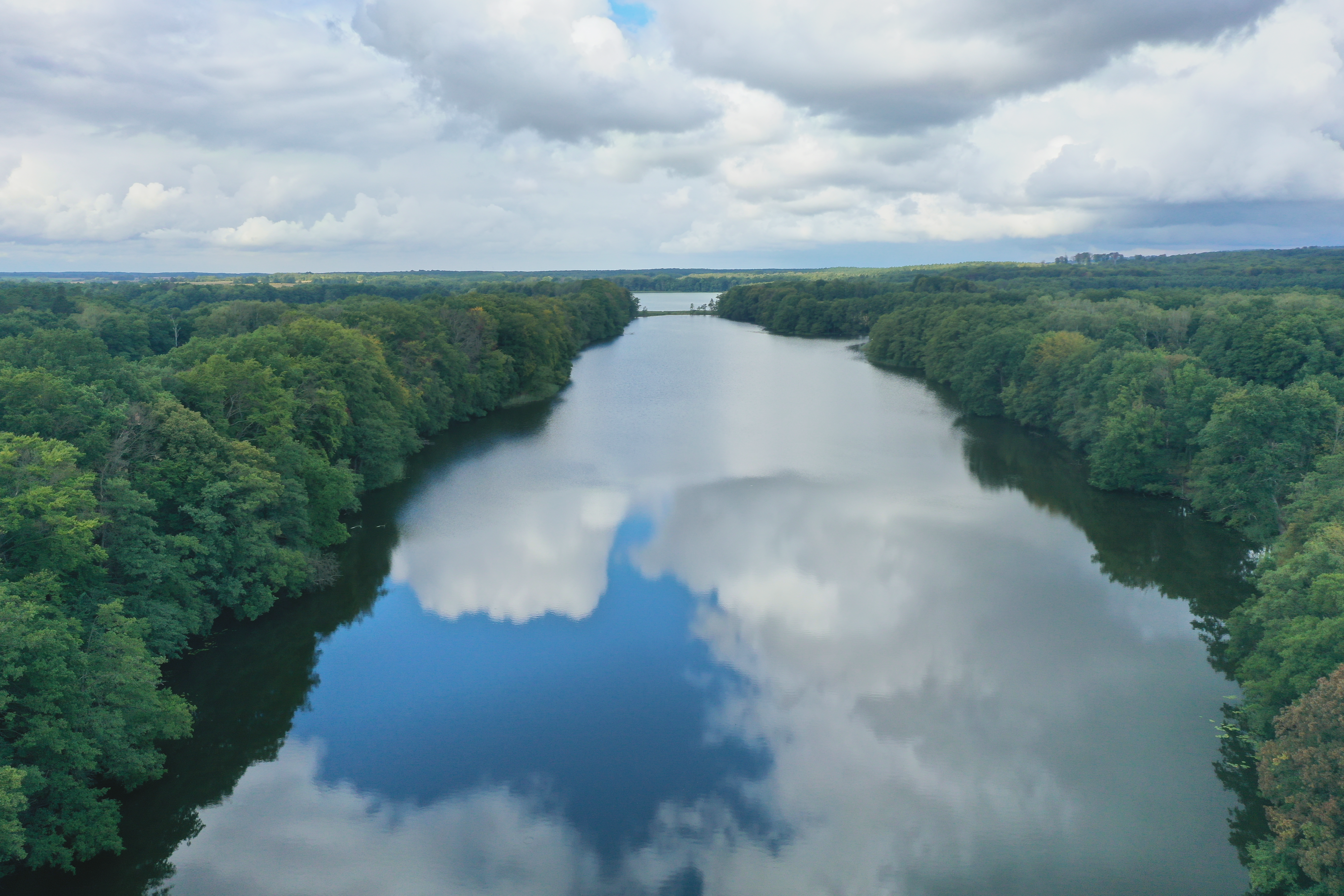
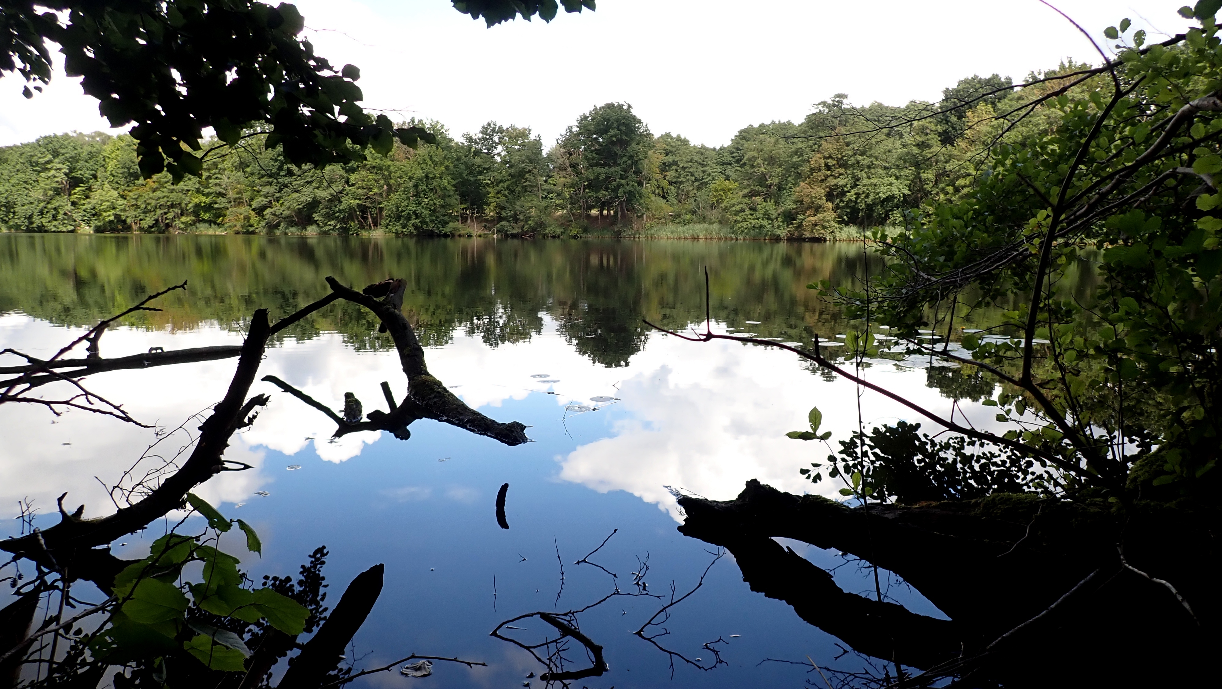
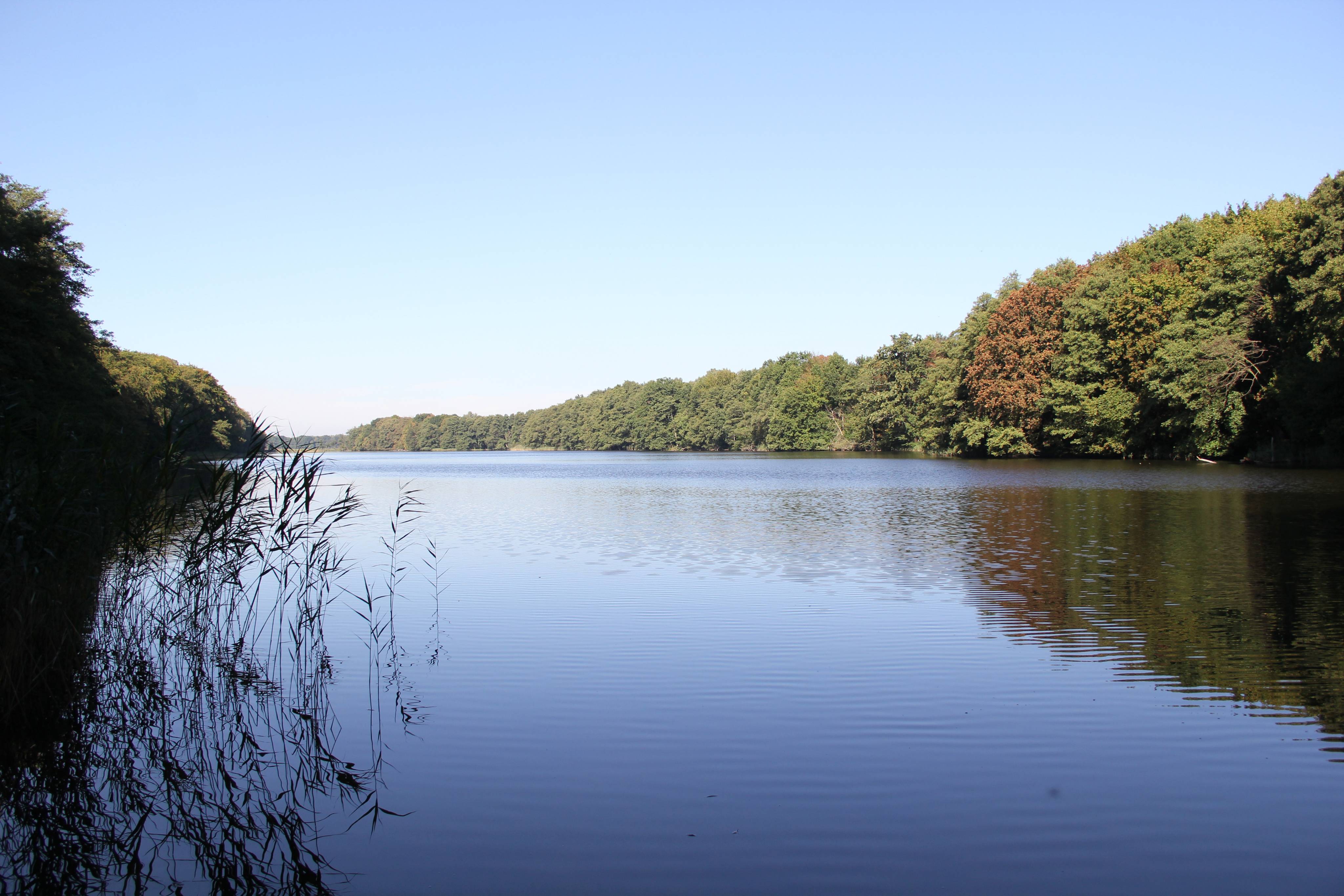
Glinna Lake is a ribbon lake and its surface area is 78 ha. The water level is at a height of 25 m above sea level. The coastline is 7.5 km long and rather diversified. You can find both flat shores with backwaters, as well as steep slopes up to 12 m high. In numerous places there are reed beds and bushes, which make it difficult to get to the lake. The northern coast is mostly wooded, and in the southern part there are fields and meadows. The deepest point in the lake reaches 16 m. Glinna is clearly divided into two parts, which is a result of shallowing of the lake. Therefore, we need to distinguish Glinna Wielka Lake [Large Glinna Lake] and Glinna Wąska Lake [Narrow Glinna Lake], which is a south-eastern arm connected by a narrow isthmus with the main lake. Wężówka Stream enters the lake and the main stream creating Krzekna River escapes from it. Glinna Wielka has five bays: from the north-west – Wężówki Bay, also called Pieprzowa Bay, from the south-east – Leniwa Bay, also called Gniła Bay, from the south-west Krzekny Bay, and the least visible Ujścia Bay, while in the south-eastern part of Promna Bay there is a narrow and shallow ravine with a length of approximately 300 m connected with Glinna Wąska Lake. It was planned to cover the lake with reserve protection due to its flora, as there are various species of orchids, as well as nuphar pumila and luronium natans. Unfortunately this was not possible. Neither were the maintenance of some resorts by the lake and the abundance of fish in the lake.
Currently, Glinna Lake is still popular as a place of rest. However, infrastructure is missing and old jetties in the southern part of the lake rot and deteriorate. Regardless, it is worth visiting the area. At the foot of the peninsula dividing Leniwa Bay and Promna Bay, it is possible to see an early medieval settlement. In Glinna there is an interesting Dendrological Garden. From Binowo towards the south-east you can go for a walk, taking blue Droga Sienna Trail. Stanisław Groński Blue Trail is definitely the most interesting trail, as it passes by Leniwe Lake and Dereń, where it is worth turning right to black PTTK Wiercipięty Trail and then left to see Glinna Wąska Lake.


