 Routes and trips
 Map
Map MPR - cyclist-friendly places
 POI
POI Plan your trip
 Bike counters
 Publications
 News
News Route concept
 Contact
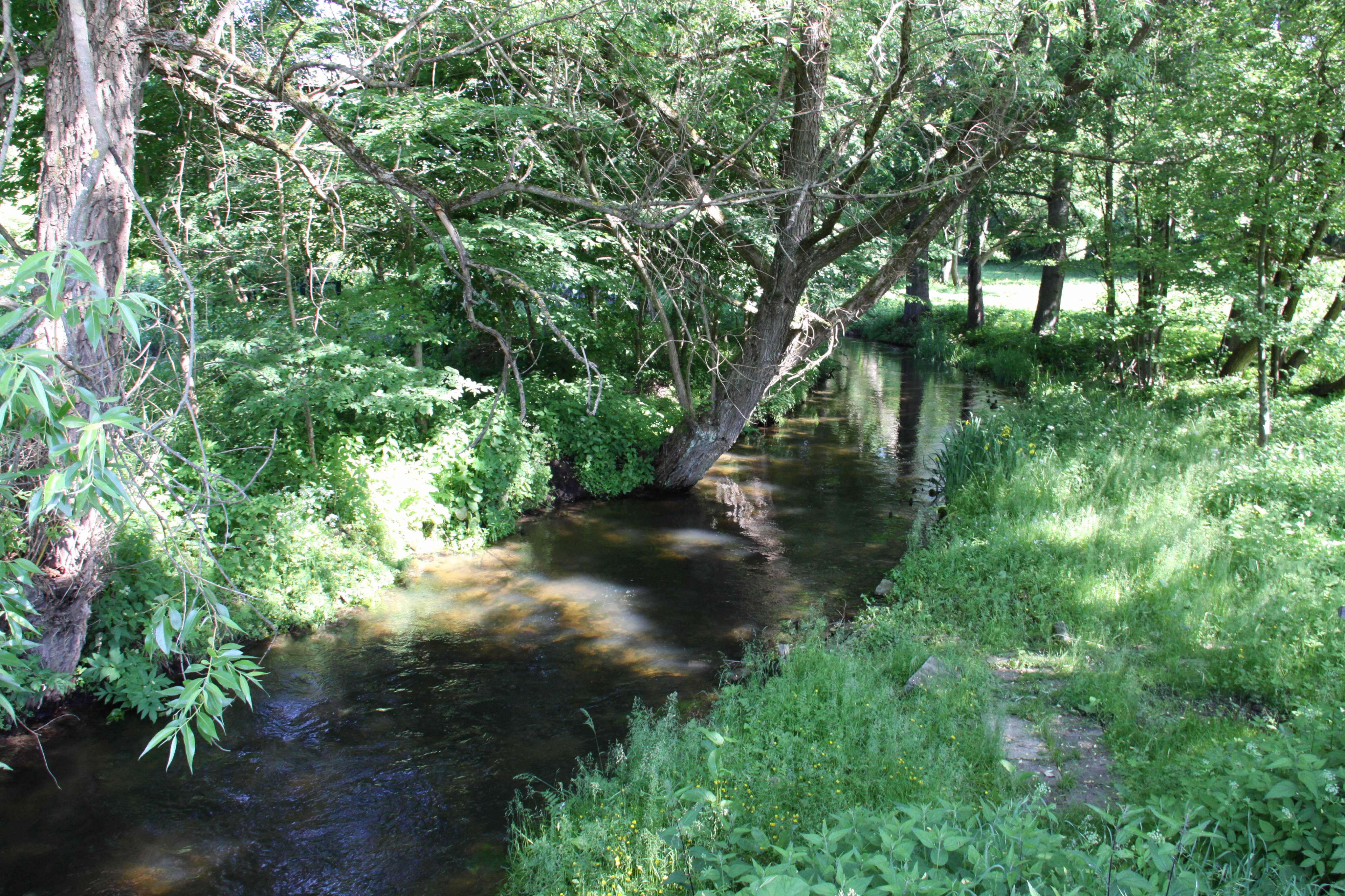
The Drawa River is the right-bank tributary of the Noteć River. The total length of the river is 185.9 km and the area of its watershed is 3296.4 km2. The network of tributaries and outflows of the river along with a number of flow-through lakes on the river is extremely varied.
The source of the river is situated in the village of Zdroje in Połczyn-Zdrój Commune within the area of the Drawsko Landscape Park. The source lies at 200 m AMSL. 41 km of the river flow through the park. The river then flows through the reserve ‘5 jezior’ [5 lakes] up to the largest lake in the province – Drawsko Lake. Then, it winds as far as to Złocieniec and Drawsko Pomorskie. In the following stages it runs through Prostynia and the town of Drawno. Outside the town the river becomes the border between the Zachodniopomorskie [West Pomerania] Province and Lubuskie Province. It flows into the Noteć River near Krzyż Wielkopolski. The mouth lies at 30 m AMSL.
Eight rivers are listed among those which flow into the Drawa (Człopica, Korytnica, Płociczna – the river runs through a beautiful nature reserve, Wąsowa, Kokna, Mierzęcka Struga, Pokrętna and Słopica). In addition, the Drawa River is connected with 13 streams and 1 channel.
The quality of the water in the river is classified as class III. There are two hydroelectric power stations on the river: in Borowo and in Głusko, which were founded as early as in the nineteenth century. Outside Drawsko Pomorskie there is one more power station called Młynowo, which is smaller and younger than the other two.
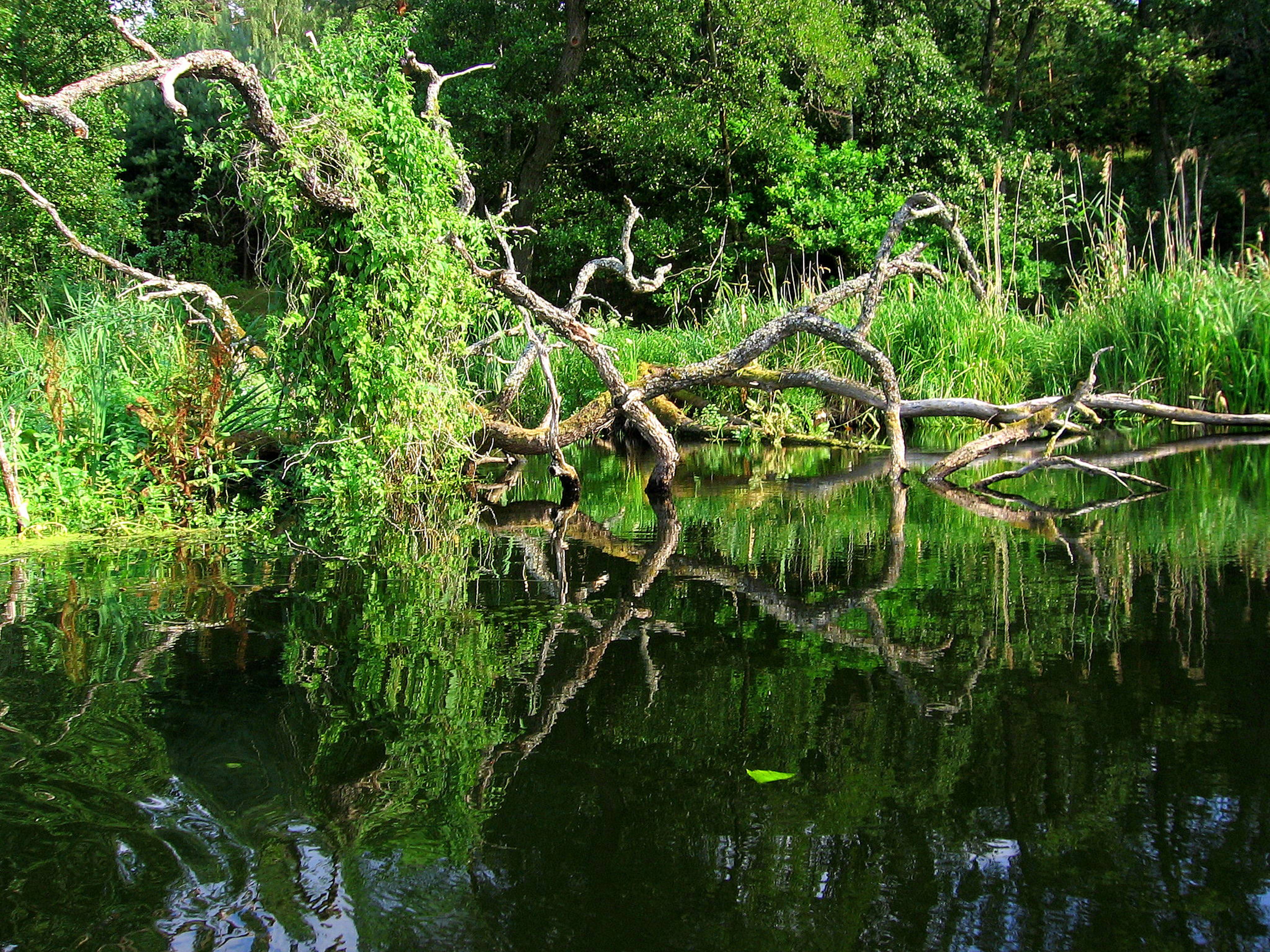
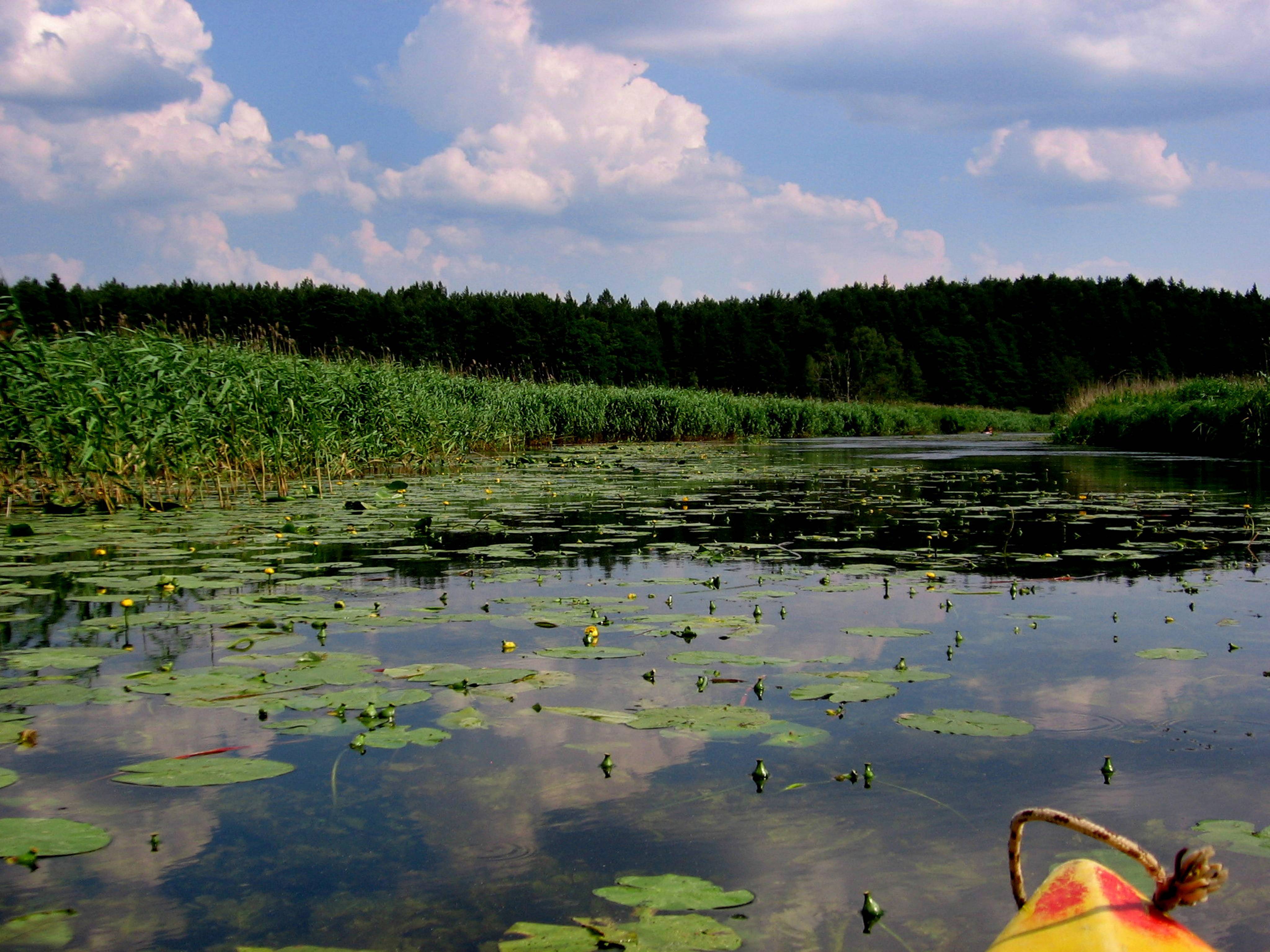
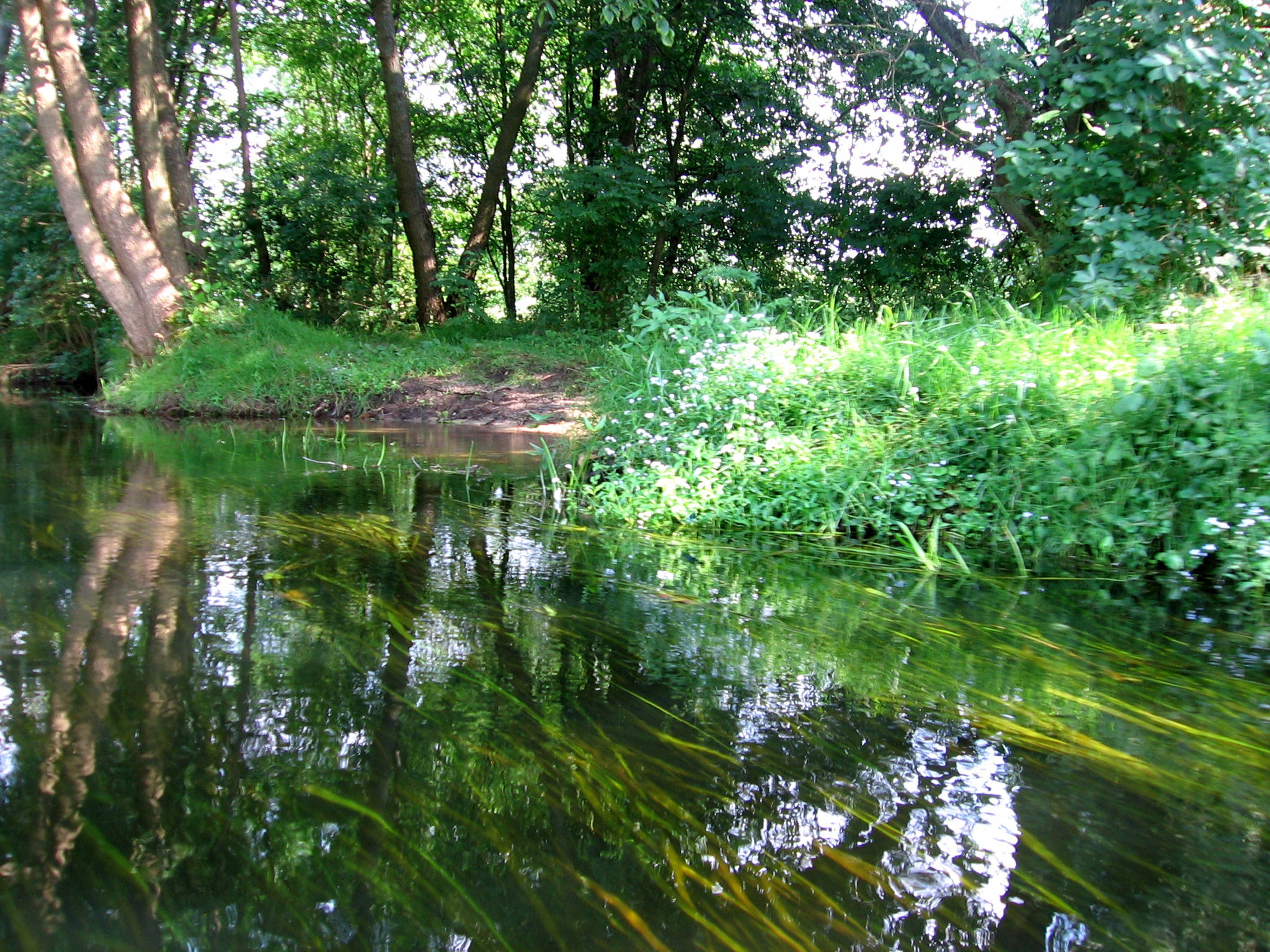
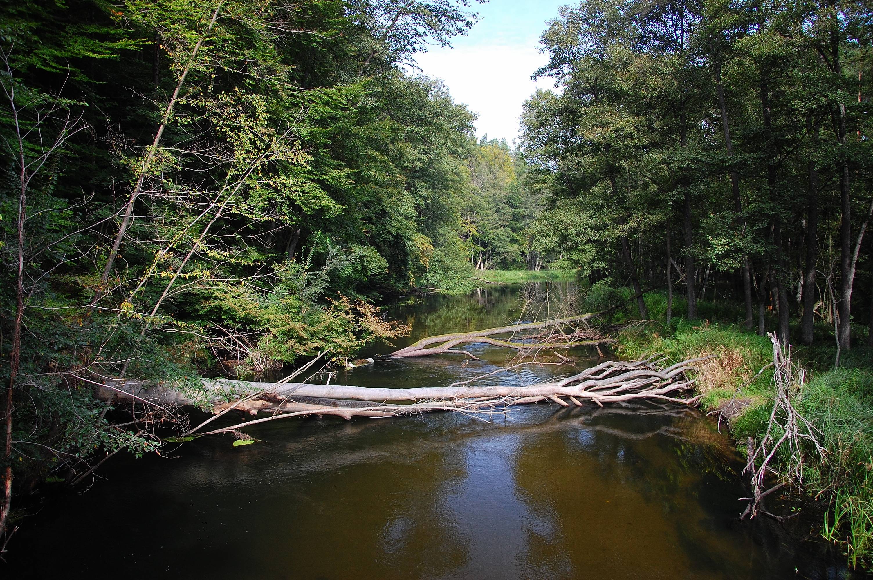
The Drawa is special also due to its flora. Along its banks and among common plant species of river banks there are many protected species which are rare in other regions. This is why the Drawa National Park was founded on the area around the river. Its aim is to protect these rare species along with broadleaved forests, beech woods and riparian forests which prevail on the forest sections of the river.
Since the course of the river is so diversified, there are also different fish species living in its waters. There are sections with populations of the following species: trout, common bream, barbel, grayling. In total, there are more than 30 fish species present in the river. Throughout the entire length of the river there are populations of perch, common roach, chub, burbot. The species which are rarer include trout and grayling. The latter one is characterized by the above-average size it grows to in the Drawa waters. It all makes the river popular among anglers.
The Drawa River is a paradise for kayaking enthusiasts. The route along the river is called Srebrny Szlak Kajakowy Drawy im. Karola Wojtyły [the Karol Wojtyła Silver Kayaking Route of the Drawa] to honour the pope who used to go on kayaking trips in the region himself. The route is 173 km long and it is estimated that it takes 8 to 10 days to complete it. Along the route there are many interesting objects, from a number of bridges to the closed mill (at Krosino Lake) and forester’s lodges on camping sites.
One should remember that part of the river flows through the area of a military training area, from Dąbie Wielkie Lake to the Borowo hydroelectric power station. Kayaking along this section is strictly forbidden.


